Overview
Web GIS Water Data Platform
A geographic information system for processing and visualizing residential water-consumption data.
Project description
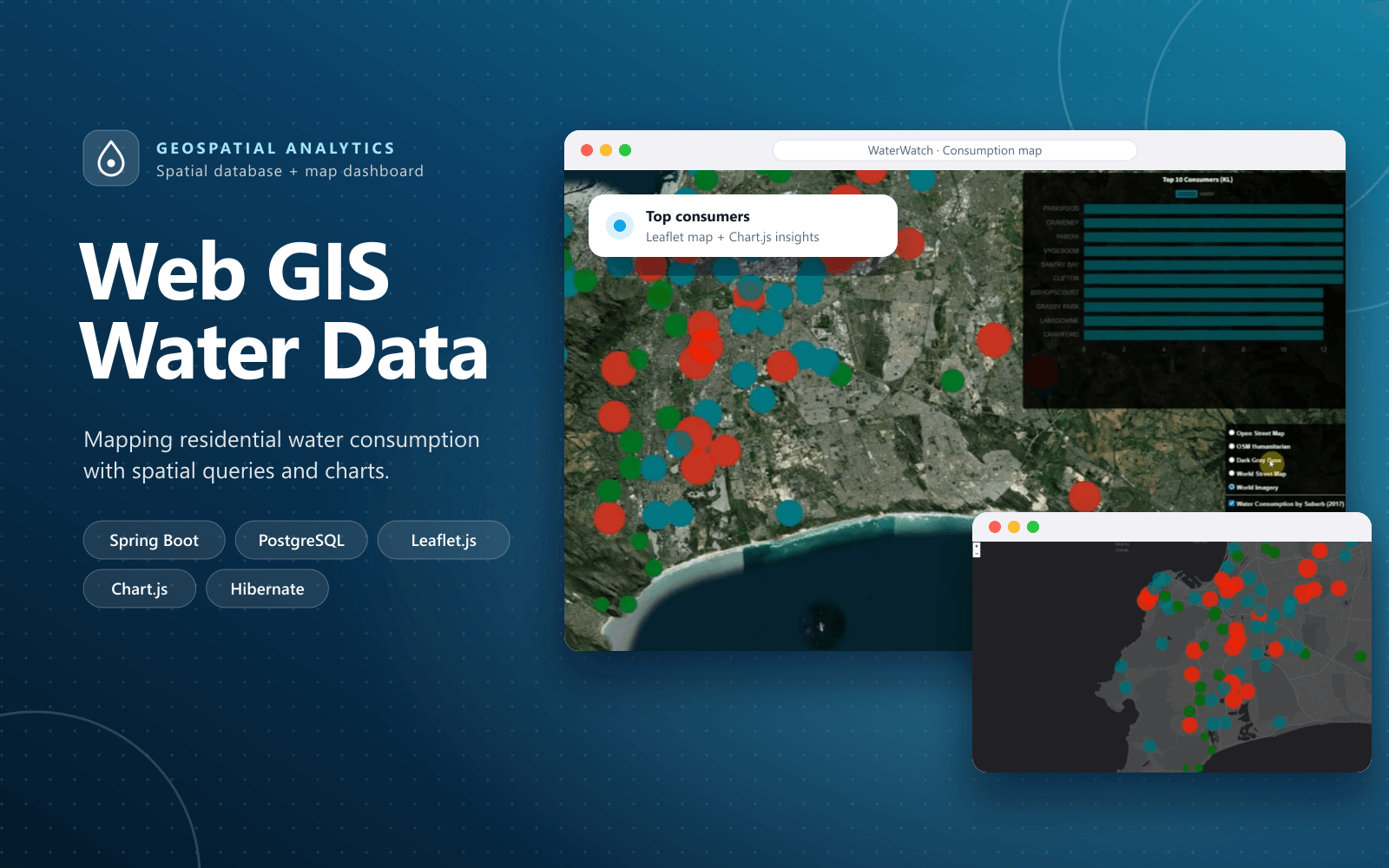
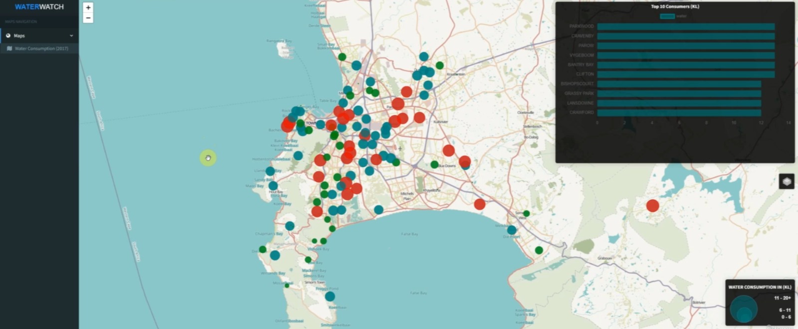
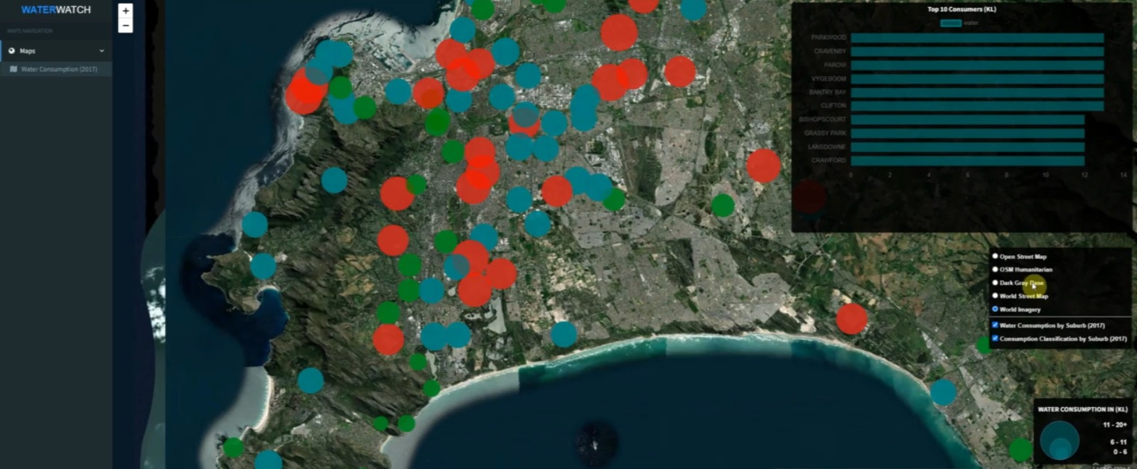
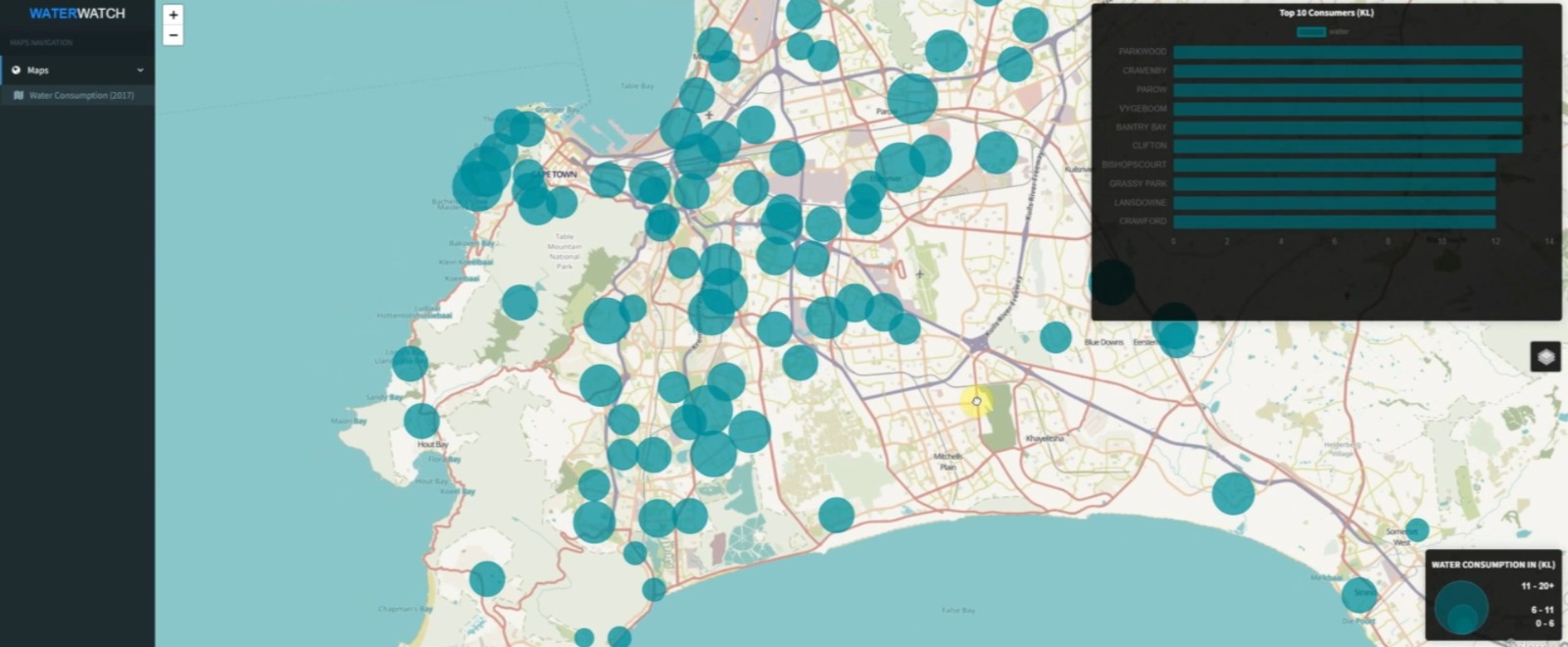
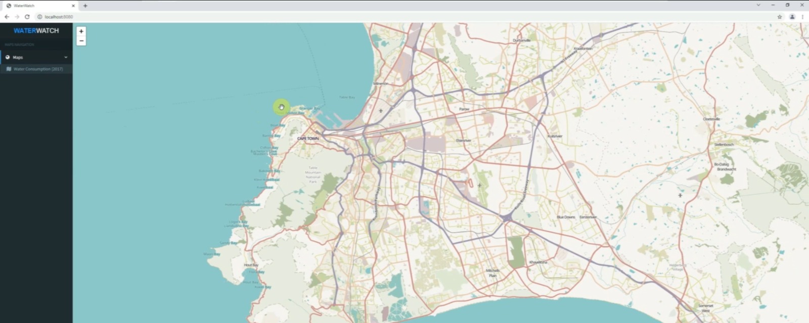
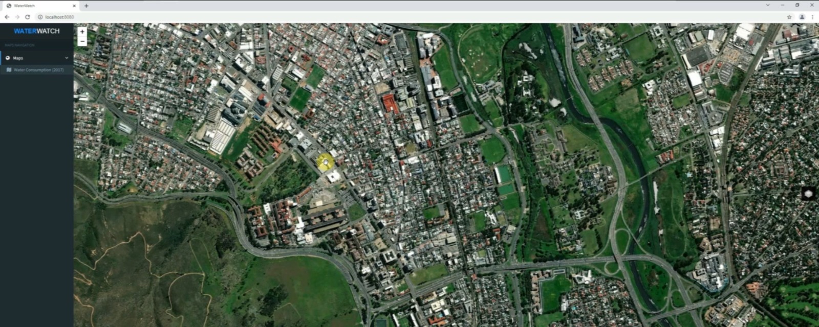
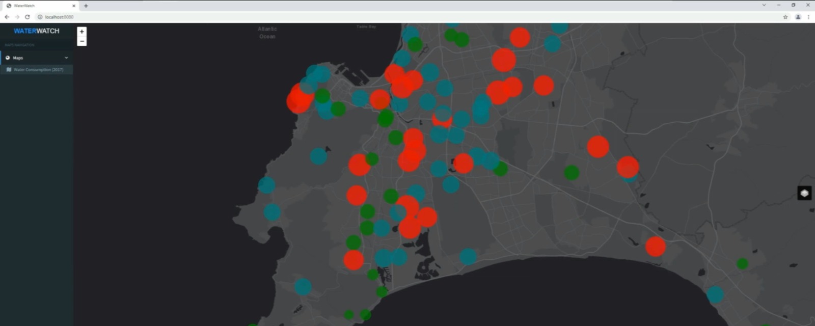
Built a full-stack Web GIS workflow to transform residential water-consumption records and load them into a spatial database. The application combines a Spring Boot backend and PostgreSQL persistence with map-based exploration and chart visualizations, making location-linked consumption data easier to inspect.
JavaSpring BootPostgreSQLHibernateLeaflet.jsThymeleafChart.js